
The southwest monsoon is set to withdraw from additional parts of north and central India on 3 October, according to the latest assessment by the India Meteorological Department. While large sections of the northern and central plains move towards drier post-monsoon conditions, rainfall and thunderstorm activity are expected to continue over parts of southern and northeastern India. The dual pattern marks a clear transition phase as the season progresses deeper into October.
The meteorological department stated that conditions are favourable for further withdrawal during the next 24 hours from the remaining parts of Punjab, Haryana and Rajasthan, most of Uttar Pradesh, Gujarat and Madhya Pradesh, and the entire territories of Jammu and Kashmir, Himachal Pradesh and Uttarakhand. Some areas of Bihar, Jharkhand, Chhattisgarh and Maharashtra are also likely to see the monsoon pull back. This continued retreat is the dominant large-scale weather development as the country shifts from the active monsoon period towards the post-monsoon season.
Current Position of the Withdrawal Line
As of 2 October, the line of withdrawal of the southwest monsoon passed through a defined path beginning near 32.5 degrees north and 72.5 degrees east, then moving through Gurdaspur, Chandigarh, Muzaffarnagar, Aligarh, Dholpur, Udaipur, Deesa and Naliya before extending towards the Arabian Sea. The progressive southward and eastward movement of this line has already brought largely dry conditions to significant portions of northwest India. The expected further advance on 3 October will extend that dryness across additional districts and states, reducing moisture levels and supporting clearer skies over a wider region.
Monsoon withdrawal is declared when specific criteria are met, including a reduction in moisture, the prevalence of dry weather for several consecutive days and changes in the large-scale circulation pattern. The current phase reflects those conditions aligning over the northern and central regions.
Rain and Thunderstorm Activity in the South and Northeast
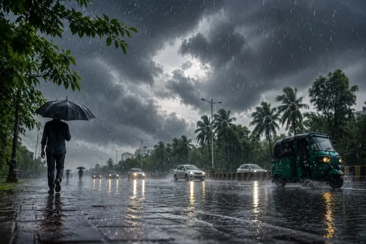
While the monsoon retreats from the north and centre, residual activity remains notable in the south and northeast. Isolated heavy rainfall is very likely over Arunachal Pradesh on 3 October. Thunderstorms accompanied by lightning are forecast over Assam and Meghalaya as well as Nagaland, Manipur, Mizoram and Tripura. These systems can produce intense but localised downpours and gusty winds, requiring continued attention from local authorities and residents.
In southern India, rainfall is expected to persist over Kerala, parts of Karnataka and Tamil Nadu in the coming days. Isolated heavy spells are possible in certain districts of Kerala and South Interior Karnataka later in the week. Coastal and interior regions of the peninsula often retain moisture and instability even as the main monsoon system withdraws from the north, leading to this contrasting weather pattern across the country.
Implications for Different Regions
For northwest and central India the advancing withdrawal brings relief from prolonged humid conditions and the risk of heavy rain. States such as Punjab, Haryana, Rajasthan and large parts of Uttar Pradesh and Madhya Pradesh are moving into a phase of mainly dry weather. Temperatures may begin to show greater diurnal variation, with cooler nights becoming more noticeable as moisture decreases. Agricultural activities that depend on the end of the rainy season can proceed with greater certainty once the withdrawal is firmly established.
In the Western Himalayan region the complete withdrawal from Jammu and Kashmir, Himachal Pradesh and Uttarakhand will reduce the frequency of monsoon-related showers. However, isolated rainfall linked to western disturbances or residual systems may still occur later in the week in some of these areas.
Southern and northeastern states face a different outlook. Continued rain and thunderstorms can support residual soil moisture beneficial for certain crops, yet they also carry the risk of localised flooding, lightning strikes and travel disruptions. Residents and authorities in these regions are advised to monitor local forecasts closely, particularly where heavy rainfall warnings remain in force.
Broader Seasonal Context
The southwest monsoon typically begins its withdrawal from northwest India in September and completes the process across the country by mid-October in a normal year. The current progression is consistent with the seasonal calendar, though the exact pace varies each year depending on atmospheric patterns. Once the monsoon has withdrawn from a region, the focus shifts to the post-monsoon or northeast monsoon season, which primarily affects southern peninsular India.
The present forecast highlights the uneven nature of the retreat. While northern and central India dry out, the south and northeast continue to experience active weather. This spatial contrast is a regular feature of the transition period and requires region-specific preparedness.
What to Expect in the Coming Days
Over the next 24 to 48 hours the most significant change will be the further southward and eastward shift of the withdrawal line. Dry weather is likely to consolidate over the areas listed by the meteorological department. At the same time, isolated heavy rain and thunderstorms will remain possible in the northeast and parts of the south. Later in the week some northern areas may see isolated rainfall again, but these spells are expected to be limited in intensity and coverage compared with peak monsoon activity.
Travellers, farmers and local administrations should continue to rely on updated district-level forecasts, as conditions can vary significantly even within the same state. The overall message from the latest assessment is clear: the southwest monsoon is steadily packing up from the north and centre, while residual rains keep southern and northeastern India under active weather for the time being. This dual pattern defines the early October weather landscape across the country.
Read more – grammarthink.com